Home / Digital Forays / #3
Space & Place I: Critical Mapping & Counter-Cartography
This session examines critical mapping as a practice that presents maps against dominant power structures. How are scholars, practitioners, and activists using digital spatial practices to disrupt and flip narratives on spatial issues? We look at individual and collaborative initiatives pushing the boundaries of critical, counter-, alter-, collaborative, and re-mapping practices across the region.
Speakers
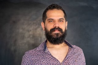
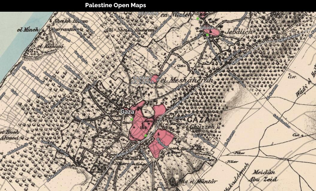
Urban planner based in Toronto applying systems thinking across multiple fields. Works with academic and cultural institutions and archives in the region, focused on knowledge production outside traditional institutions. Recent project: Palestine Open Maps, a platform for open-sourcing historical maps.
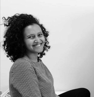
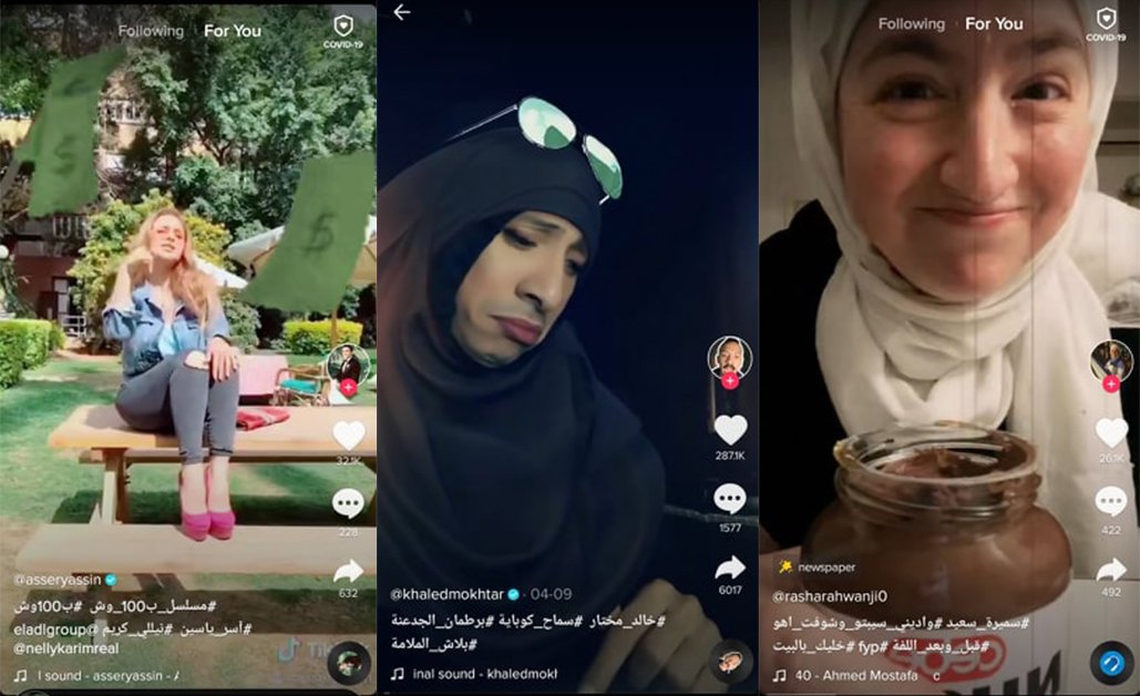
PhD candidate in Cultural Studies at the University of Amsterdam and Marie-Skłodowska Curie project fellow. Dissertation examines nostalgic discourses of an 'ideal nation' on Egyptian social media, at the intersections of critical media studies and memory studies. Previously taught five years at the German University in Cairo.
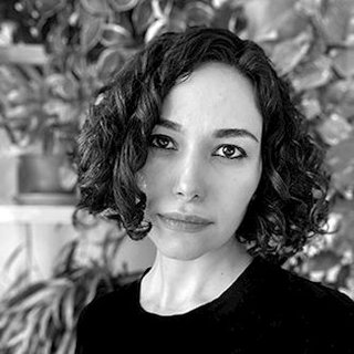
Award-winning designer, spatial historian, and environmental humanities scholar, originally trained as an architect and urban designer. Research focuses on spatial and environmental justice, racialized geographies, infrastructural systems, feminist theories, and immigrant narratives. Founding Director of OPEN SYSTEMS. Assistant Professor of Landscape Architecture, UVA School of Architecture.
Discussant

Assistant Professor of Geography and Environment in the Maxwell School of Citizenship and Public Affairs. Research interests span the Middle East, Turkey, cultural geography, and urbanism.
From the Conversation
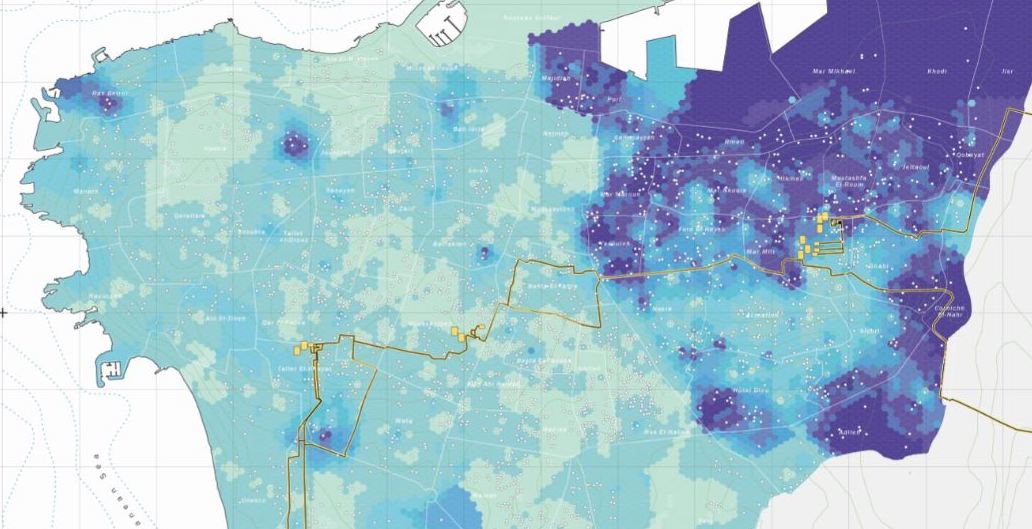
In this virtual event, Majd Al-Shihabi (Systems Design Engineer) discussed his work on Palestine Open Maps, highlighting the process of layering maps from different historical periods to show how representations and geographies have changed and how they are remembered through counter-mapping. Al-Shihabi also spoke about the work of translating colonial ontologies to Open Street Maps and the disparity between translated and original Arabic Wikipedia articles as a way to show how local knowledge is no longer attached to the spaces where it is produced.
Nermin Elsherif (CHEurope) discussed the common threads between mapping projects she created and participated in: creating counter-maps of Port Said, Alexandria, and Cairo that challenge the colonial knowledge embedded in cartography by attempting to represent personal, literary, musical, and other stories. A driving force of her work has been negotiating the tensions and translations between the analog and the digital.
Ghazal Jafari's (University of Virginia) work interrogates how design and spatial processes are complicit in maintaining colonial power structures. She shared her recent project on the development of the Khuzestan region along the border of Iraq and Iran in the late 1950s, where the histories and practices of the region were erased by Point Four modernizing discourses and technologies whose dams have led to environmental degradation.
Timur Hammond (Syracuse University) asked participants to think through the questions of translation, temporality, and layering in their work. He continued the discussion by asking about the solidarities and successes fashioned over the course of Al-Shihabi, Elsherif, and Jafari's projects.
Recording
Paired with seminar
Session 10 → Module IV: Maps, Space, and Visualizing PlaceDigital Forays · 6 events in the series
← Previous
#2: Digital Data Gathering & Changing Ways of Knowing II: Social Media Afterlives
March 18, 2021
You are here
#3: Space & Place I: Critical Mapping & Counter-Cartography
April 1, 2021
Next →
#4: Space & Place II: Visualization & Digital Storytelling
April 15, 2021