Home / Digital Forays / #4
Space & Place II: Visualization & Digital Storytelling
This session explores how scholars and activists use infographics, visualizations, and novel digital storytelling techniques to explore lived experience and flip imaginations of space and place. How do individuals and initiatives create new visual narratives around social issues, and how can visualizations be integrated into research and teaching?
Speakers
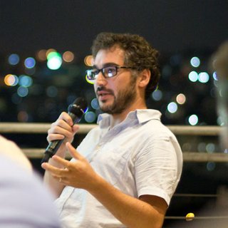
Architect and UX designer specializing in data visualization, visual storytelling, and learning through play. Led award-winning infographics projects with Visualizing Impact and initiated Palestine Open Maps. Has facilitated courses and workshops in Beirut, London, Lisbon, Amman, and Bangalore. In 2021 led data visualization for the UK Census at the Office for National Statistics.
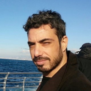
Assistant Professor of Graphic Design at AUB. Scholarly work explores mapping as a method for researching and analyzing socio-spatial phenomena. Co-founder of Beirut Urban Lab (a collaborative, interdisciplinary research space) and Director of Critical Mapping there.
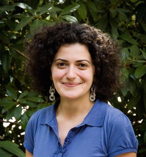
New media artist and software theorist. Assistant Professor of Emerging Media at the School of Media Studies, The New School. PhD in Film and Digital Media from UC Santa Cruz. Research examines how software interfaces with archives of memory in non-Western contexts. Published in Feminist Media Histories and Sounding Out. Work exhibited at museums and festivals across the US and Canada.
Discussant
Assistant Professor of Film and Media Studies. Research focuses on global and transnational media, visual culture, Lebanon and the Middle East, and critical theory, particularly on media technology's role in the production and contestation of urban space. Forthcoming: Visions of Beirut: The Urban Life of Media Infrastructure (Duke University Press, 2021).
From the Conversation
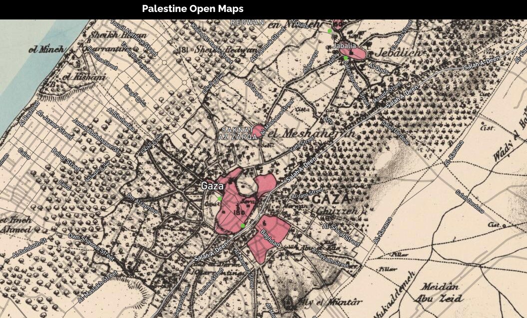
Ahmad Barclay (Architect) shared his work on Palestine Open Maps and the need to find ways to make the maps a guided experience for users. This need led to the creation of Palestine Today, the Palestine Oral History Map, and multiple art projects that integrate storytelling into the maps to engage users.
Fabiola Hanna (The New School) discussed going beyond critiques of humanitarian language to begin thinking through software as a medium for historical justice for marginalized narratives. She shared her work on the platform, We Are History: A People's History of Lebanon, which aimed to provide a bottom up history that encourages dialogue and conflicting memories, shaking the certainty of traditional narratives of Lebanese history.
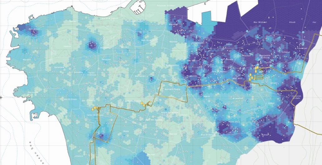
Ahmad El-Gharbie' (American University of Beirut) emphasized the need to contest "hard-line boundaries," or the perceived inflexibility of neighborhood boundaries in official maps of Beirut. Projects such as a map of Beirut neighborhoods based on the perspective of delivery drivers, or of neighborhoods based on how much water they receive, demonstrated the gap between official boundaries and the lived experience, resources, and memory of residents.
Hatim El-Hibri (George Mason University) asked panelists to think about the process of data selection in these projects, as well as the positive and negative outcomes that might have been instructive in their work.
This virtual event was co-sponsored by Media Studies at The New School and George Mason University.
Recording
Paired with seminar
Session 12 → Module V: Digital Storytelling: Text / Image / Sound / VideoDigital Forays · 6 events in the series
← Previous
#3: Space & Place I: Critical Mapping & Counter-Cartography
April 1, 2021
You are here
#4: Space & Place II: Visualization & Digital Storytelling
April 15, 2021
Next →
#5: Future Digital Research on/in/from the Middle East
April 22, 2021